


Eritrea
Africa · Eastern Africa
Low PeaceLow Development
Africa's North Korea — one of the world's most closed states, compulsory military service.
At a Glance
75
73
🌍
Eritrea
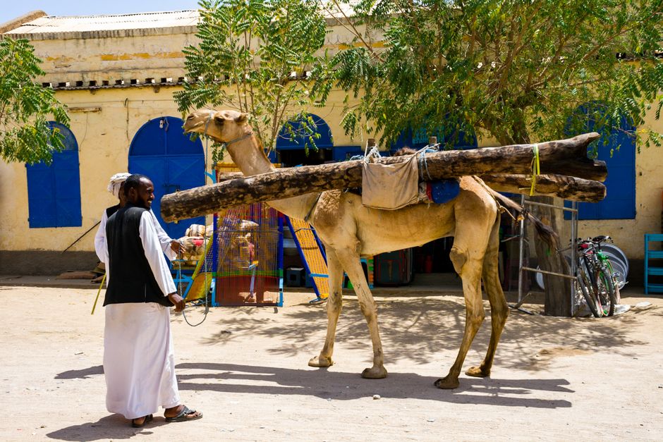
Eritrea is a small East African country on the Red Sea coast with a landscape ranging from the hot Danakil lowlands to the cool, Italian-influenced highlands around the capital Asmara. Asmara itself is a striking open-air museum of 1930s Italian modernist architecture, now a UNESCO World Heritage Site. The country is one of the most isolated in the world, which gives it an eerie, time-stopped quality that fascinates the small number of travellers who visit.
- Mandatory military service is indefinite — conscripts often serve 10+ years without pay.
- No independent press has operated since 2001 — one of the world's most press-restricted countries.
- Gained independence from Ethiopia in 1993 after a 30-year war.
- Asmara's Italian Art Deco architecture makes it one of Africa's most visually distinct capitals.
📍
Quick Facts
Capital
Asmara
Languages
Arabic, English, Tigrinya
Currency
Nfk ERN
Area
121,178 km²
💻
Nomad Hub
PlugType C/E/L
Unemployment
i
6.0%
Moderate
20-Year Trend + IMF Forecast
Income & inflation over time
i
+67% nominal-7% real
GDPPPPInflationIMF forecast